
Bowen Island Map: How Geography and Population Shape This Island Community
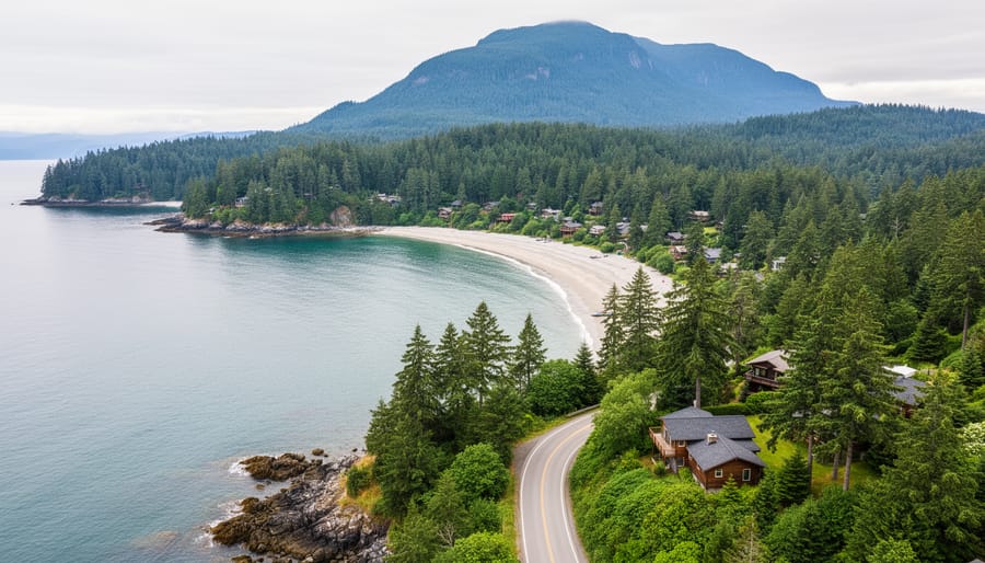
Bowen Island’s compact 20-square-mile landscape unfolds in a crescent shape just off mainland British Columbia, with nearly all essential services, accommodations, and attractions concentrated in Snug Cove near the ferry terminal on the island’s eastern shore. Understanding this geography matters because the island’s single main road, Miller Road, runs roughly north-south and connects the three primary residential areas (Snug Cove, Cape Roger Curtis, and Deep Bay), while most beaches, trails, and natural attractions branch off from this central artery. The terrain rises dramatically from the shoreline to Mount Gardner at 2,400 feet, creating distinct elevation zones that influence everything from where you’ll find shops and restaurants (sea level, walkable from the ferry) to where hiking adventures begin (scattered around the island’s forested interior).
Most visitors arrive at Government Road Dock in Snug Cove, where the commercial heart of the island sits within a five-minute walk, making this your natural starting point for orientation. Beyond this hub, the island spreads into quiet residential pockets and wilderness preserves, connected by winding roads that demand attention to signage and, often, a reliable map or GPS. The population of roughly 4,000 residents clusters mainly near Snug Cove, leaving vast stretches of forested coastline and mountain terrain beautifully undeveloped and ready to explore once you grasp how the island’s layout shapes your travel options.
Understanding Bowen Island’s Geographic Layout
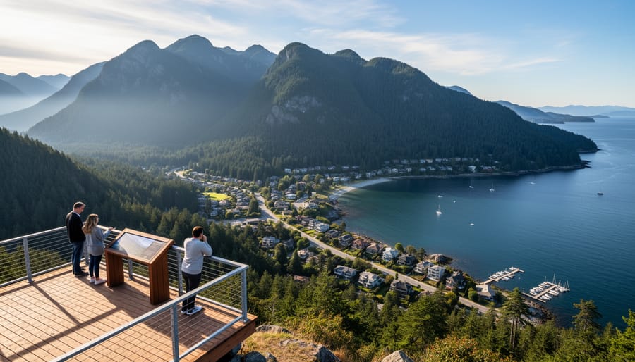
Bowen Island occupies 19.5 square miles of forested, mountainous terrain in Howe Sound, the southernmost fjord along British Columbia’s coast. Located just 3 nautical miles northwest of West Vancouver, the island sits at approximately 49.38°N latitude and 123.35°W longitude, making it the closest Gulf Island to Vancouver’s urban core. On clear days, you can see the city’s skyline from certain vantage points on Bowen’s southern shores.
The island stretches roughly 7 miles from north to south and varies between 2 and 4 miles wide east to west, creating an irregular, elongated shape that resembles a tilted rectangle with jagged edges. Steep ridges and peaks dominate the interior, with Mount Gardner rising to 2,394 feet as the island’s highest point. These slopes drop sharply toward the coastline in many areas, creating dramatic cliffs and rocky shorelines that define the island’s character.
Howe Sound’s deep waters surround Bowen on all sides, with Queen Charlotte Channel separating it from the mainland to the east and Collingwood Channel running along its western edge. The southeastern shore, where Snug Cove sits, offers the most protected waters and gradual terrain, explaining why the ferry terminal and main community developed there. The northern and western coasts remain largely inaccessible and undeveloped due to steep topography and exposure to prevailing winds.
This compact geography means visitors can traverse the island’s main roads in under 30 minutes, yet the mountainous terrain creates distinct microclimates and ecosystems across elevation zones. The rugged landscape channels both wildlife and human activity into natural corridors, shaping where trails wind through old-growth forests and where homes cluster in the few areas with buildable, level ground.
Main Communities and Neighborhoods
Snug Cove: The Island’s Heart
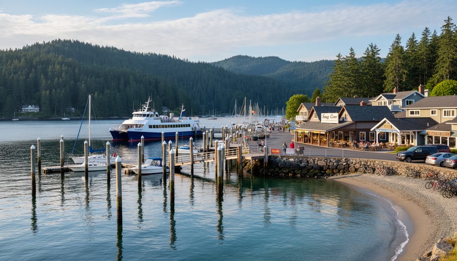
When you step off the ferry, you’re in Snug Cove, the beating heart of Bowen Island and the natural first stop for every visitor. This compact village serves as the island’s commercial and social center, where virtually all tourist amenities cluster within a short walk of the terminal. You’ll find the island’s concentration of shops, galleries, and services here, along with most accommodation options for travelers.
The cove’s waterfront area transitions quickly into the village core along Government Road. Restaurants in Snug Cove range from casual cafes to sit-down dining, with popular spots like U Cafe Bar providing meals and meeting places for locals and tourists alike. The Artisan Square complex houses additional businesses and community spaces just minutes from the ferry dock.
This geographic concentration makes Snug Cove highly walkable. Most visitors can access what they need without a car, though the village itself occupies only a fraction of the island’s total area. Beyond Snug Cove’s immediate radius, Bowen Island becomes predominantly residential and forested, which explains why this small hub plays such an outsized role in the visitor experience.
Other Residential Areas
Beyond Snug Cove, Bowen Island’s residential neighborhoods fan out across the landscape, each with its own character shaped by geography and community history. These areas are primarily home to island residents, but they offer visitors a glimpse into local life and provide access to trails, beaches, and quieter corners of the island.
Artisan Square sits just a short walk east from Snug Cove along Cardena Road. This compact neighborhood developed around a cluster of artisan studios and small businesses, giving it a creative, bohemian feel. You’ll find working artists’ studios, a few cafes, and community gathering spaces mixed among the homes. It’s worth exploring if you’re interested in local crafts and want to meet island makers.
Cates Hill rises above the southern shore, offering some of the island’s most dramatic ocean views across Howe Sound toward West Vancouver. The area is characterized by winding roads that climb the hillside, with homes tucked into the forest on larger lots. Visitors hiking the trails here are rewarded with panoramic vistas.
Cape Roger Curtisat the island’s southeastern tip, represents Bowen’s most remote residential area. The drive out Cape Roger Curtis Road takes you through dense forest before reaching waterfront properties and the historic Cape Roger Curtis Lighthouse. This area feels decidedly rural, with few services but stunning coastal access.
Between these named areas, much of the island consists of residential pockets connected by tree-lined roads, where homes blend into the natural forest environment that defines Bowen’s character.
Rural and Undeveloped Regions
Beyond the populated coastal areas, roughly 60% of Bowen Island remains forested and largely undeveloped. This wild interior consists of steep, rugged terrain covered in second-growth Douglas fir, western red cedar, and hemlock forests that are inaccessible by road.
Crippen Regional Park anchors the protected lands, covering 635 acres along the island’s northwest shore adjacent to Snug Cove. The park preserves old-growth forest pockets, wetlands, and shoreline habitat while offering marked trails that let visitors experience the island’s natural character without venturing into truly remote areas.
Crown land encompasses much of the mountainous central and southern portions of the island. These public lands feature no maintained trails or facilities, serving primarily as watershed protection and wildlife habitat. The terrain rises sharply from sea level to Mount Gardner’s 2,450-foot summit, creating slopes too steep for development.
This extensive undeveloped territory explains why Bowen’s 4,000 residents cluster in scattered communities rather than spreading across the island. For visitors, these wild lands mean limited hiking infrastructure outside Crippen Park, most of Bowen’s interior remains pristine and untouched, contributing to the island’s quiet, nature-focused appeal.
Population Distribution and Density
Bowen Island supports a close-knit community of roughly 4,000 permanent residents, with most households clustered within a few kilometers of Snug Cove. This compact population center creates a vibrant village atmosphere where locals and visitors converge at cafes, galleries, and waterfront shops. Beyond the village core, residential density drops sharply. You’ll find homes scattered along winding roads through forested hillsides, tucked into clearings with ocean views or nestled in quiet coves. These outlying neighborhoods maintain a distinctly rural character, with properties separated by stretches of woodland and limited commercial development.
The island’s population swells considerably during summer months and holiday weekends. Day-trippers from Vancouver arrive by ferry to hike trails, browse artisan shops, and enjoy waterfront dining. Overnight visitors add to the seasonal influx, filling vacation rentals, bed-and-breakfasts, and the handful of small hotels near Snug Cove. This cyclical pattern shapes where you’ll find visitor services: accommodations and attractions concentrate near the ferry terminal and along the main roads radiating from the village, making them accessible without extensive island exploration.
Winter brings a quieter rhythm. The population contracts to its year-round residents, and several seasonal businesses reduce hours or close temporarily. This ebb and flow reflects the island’s dual identity as both a residential haven and a weekend escape. For travelers, understanding this pattern helps set expectations. Visit in summer for full access to dining and cultural events, but expect more company on popular trails. Choose shoulder seasons or winter for solitude and lower accommodation rates, though you’ll need to verify which services remain open.
Major Roads and Transportation Routes
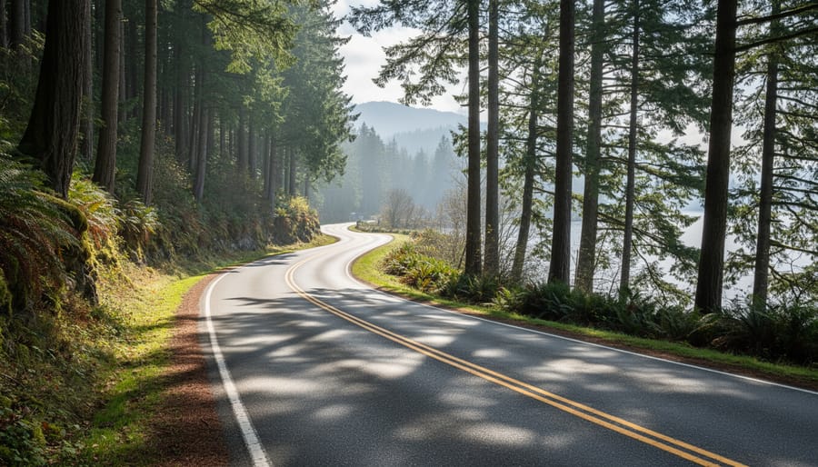
Bowen Island’s road network is straightforward but limited, reflecting the island’s small size and rural character. The main artery, Government Road, runs roughly north-south from the Snug Cove ferry terminal through the island’s interior. This paved route connects to most of the island’s residential areas and serves as the primary corridor for visitors heading to accommodations, trailheads, and viewpoints beyond the village center.
Dorman Road branches east from Government Road, providing access to residential neighborhoods and eventually connecting to Miller Road, which curves through the southern portion of the island toward Cape Roger Curtis. These three roads form the backbone of the island’s transportation system, with smaller residential streets branching off from them.
Unlike mainland communities, Bowen Island has no traffic lights and minimal signage in residential areas. The entire road network is about 30 kilometers of paved and gravel roads. You can drive from Snug Cove to the island’s farthest residential point in roughly 15 minutes under normal conditions, though narrow, winding sections require careful navigation.
Most roads lack sidewalks and designated bike lanes, so cyclists and pedestrians share the roadway with vehicles. The terrain includes steep hills and sharp curves, particularly on Government Road’s southern stretches. Many popular hiking trails begin from roadside pullouts rather than formal parking areas, requiring visitors to plan where they can safely leave vehicles while exploring the island’s natural attractions.
Natural Landmarks and Points of Interest on the Map
When planning your visit, certain landmarks serve as essential navigation points and destination anchors across Bowen Island. These sites help orient you spatially and offer the experiences that define the island’s character.
| Landmark | Location Area | Type | Distance from Snug Cove |
|---|---|---|---|
| Killarney Lake | Crippen Regional Park | Lake & Trail System | 0.3 miles |
| Dorman Point | Southwest Coast | Beach & Viewpoint | 2 miles |
| Mount Gardner Summit | Central Interior | Mountain Peak & Trail | 3.5 miles |
| Tunstall Bay | Northeast Coast | Beach & Picnic Area | 2.8 miles |
| Artisan Square | Eastern Village | Cultural Centre | 1.2 miles |
Crippen Regional Park, the island’s largest protected area at roughly 600 acres, wraps around Snug Cove and contains the most accessible trail network for day visitors. Within minutes of disembarking the ferry, you’ll find marked paths leading to Killarney Lake, where a gentle perimeter trail offers forest walks and water views.
The coastline presents multiple beach access points that anchor different parts of the map. Dorman Point in the southwest gives you Howe Sound vistas and driftwood-strewn shores, while Tunstall Bay on the northeast provides calmer waters and picnic facilities. These coastal landmarks help you understand the island’s orientation relative to the mainland mountains.
Mount Gardner, rising 2,400 feet at the island’s heart, serves as both a physical and visual reference point. The summit trail departs from Killarney Lake and represents the island’s premier hiking challenge, rewarding you with panoramic views that put the entire map into three-dimensional perspective.
In Snug Cove itself, the government wharf, Artisan Square’s studios and galleries, and the best café stops cluster within a walkable radius, making this area your practical base for both navigation and island immersion.
How Geography Influences Island Life and Tourism
Bowen Island’s geography doesn’t just define its physical boundaries, it actively shapes the character of the community and the experience visitors encounter. The island’s compact 19.5-square-mile footprint and mountainous terrain have naturally limited large-scale development, creating a community that values environmental stewardship over commercial expansion. Without room for sprawling infrastructure, residents have maintained a deliberate focus on preserving forests, protecting shorelines, and keeping the island’s wilderness accessible through parks and trails.
This geographic constraint has fostered a tight-knit artistic community that thrives precisely because the island remains small and undeveloped. The isolation of island life, with ferry-dependent access, filters out casual development and attracts residents and visitors who actively choose a quieter, more intentional pace. You won’t find chain hotels or big-box retailers here, the lack of available land and the community’s zoning philosophy have kept commercial activity concentrated in Snug Cove’s modest village center.
For tourists, this translates into an experience defined by nature immersion rather than resort amenities. The mountainous interior channels most human activity to coastal areas and established trails, leaving vast swaths of forest as buffer zones between neighborhoods. Accommodations tend toward intimate bed-and-breakfasts, vacation rentals, and boutique inns rather than large properties. The geography essentially curates the visitor demographic, attracting travelers who seek hiking, kayaking, gallery browsing, and coastal tranquility over nightlife or shopping districts. The island’s physical form has become its brand.
Common Questions About Bowen Island’s Geography
Visitors planning a trip to Bowen Island often have similar questions when they first examine the island’s geography and start mapping out their stay. Understanding the practical realities of getting around helps you make better decisions about where to book your accommodation and how to structure your days exploring the island’s attractions.
How long does it take to drive across the island?
From Snug Cove to the furthest residential areas takes roughly 15-20 minutes by car, though the island’s winding roads and 40 km/h speed limits mean distances feel longer than they appear on the map. The compact geography means nothing is truly far away.
Is there public transportation on Bowen Island?
Bowen Island Transit operates a limited bus service connecting Snug Cove with some residential areas, but service is infrequent and doesn’t reach many tourist destinations. Most visitors rely on cars, taxis, or bicycles to get around.
Where are the main hiking trails located?
The most accessible trails are in Crippen Regional Park, which surrounds Snug Cove and offers waterfront and forested routes. Additional trails are scattered throughout the island’s interior Crown lands and smaller parks, with trailheads marked on detailed island maps.
What areas have the most hotels and accommodations?
Snug Cove and the immediate surrounding neighborhoods contain the majority of visitor accommodations, from small inns to vacation rentals. Staying near the village center gives you walking access to restaurants, shops, and the ferry terminal.
The island’s geography means you’re never more than a short drive from what to eat on Bowen Island though many visitors find that staying in or near Snug Cove eliminates the need for a vehicle altogether. The concentration of services in the village center, combined with nearby trail access and waterfront activities, makes it the most convenient base for first-time visitors trying to experience the island’s highlights.
